Culebra · Culebra
Tamarindo
Also known as: Tamarindo Beach · Playa Tamarindo · Tamarindo Reef
Snorkel-friendly- Depth
- 30–80 ft (9–24 m)
- Access
- Shore dive
- Type
- —
- Confidence
- Moderate confidence
Heads up: unexploded ordnance (beach area cleared). See safety notes
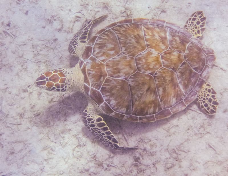
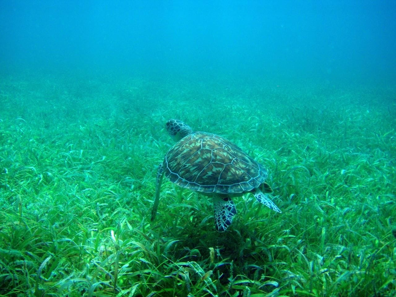
Photo: Joe King, CC BY 2.0 · Photo: KimonBerlin, CC BY-SA 2.0

.jpg)
Overview
Tamarindo in Culebra is a shore dive and snorkel spot considered a good bet for seeing turtles from shore, with seagrass and rays nearby. An older guide describes soft corals and sea anemones, and nurse and reef sharks and lobsters are also reported. The beach was included in a 2019 munitions removal. It lies within the no-take Canal Luis Peña Natural Reserve; check current DRNA rules.[1][2][3][4][5]
Habitat & marine life
Marine life is what sources report having seen or commonly seeing — not a guarantee.
Access
Snorkeling
- noted for shore snorkeling[6]
What sources say about snorkeling here. Conditions change — check the sea state before you go.
Safety considerations
- unexploded ordnance (beach area cleared) — Tamarindo beach included in 2019 USACE munitions removal[4]
Ocean conditions change daily. Dive within your training, plan with current local information and consider a local professional guide. Full safety note.
Protected area
Canal Luis Peña Natural Reserve (Reserva Natural Canal Luis Peña)
Natural Reserve · Puerto Rico Department of Natural and Environmental Resources · Site position falls inside the official boundary[5]
NOAA's MPA Inventory classifies this area's protection level as "No Take"; fishing: commercial and recreational fishing prohibited. Anchoring: restricted.[5]
Regulations change. Check with DRNA (Departamento de Recursos Naturales y Ambientales) before diving.
Depth reports by source
| Reported | Source | Status |
|---|---|---|
| 30–80 ft (9–24 m) | Culebra Divers via SSI Scubago / MyDiveGuide[3] | Current source |
Sources & verification
Last researched: 2026-10-04 · Last independently verified: not yet field-verified · Confidence: Moderate confidence
- 1.Snorkeling - Culebra Divers — Culebra Divers · Dive operator · Tier 2: Specialist · accessed 2026-09-25
- 2.Culebra's Beaches: Diving, Snorkeling, and Kayaking — Moon Travel Guides (Suzanne Van Atten) (2016) · Historical guide · Tier 3: Corroborating · historical
- 3.Tamarindo Beach (dive site) — Culebra Divers via SSI Scubago / MyDiveGuide · Dive organization · Tier 2: Specialist · accessed 2026-09-25
- 4.Munitions cleanup on Culebra advances, increasing safety for public recreational use — U.S. Army Corps of Engineers (via DVIDS) (2019-07-25) · Government · Tier 1: Primary / authoritative · accessed 2026-09-25
- 5.NOAA Marine Protected Areas Inventory 2024 (feature service NOAA_MPA_Inventory_2023), State = PR — NOAA NOS Office of National Marine Sanctuaries - MPA Center (2024) · Government dataset · Tier 1: Primary / authoritative · accessed 2026-09-25
- 6.Las 15 mejores playas para hacer snorkeling en Puerto Rico — Primera Hora (2015-06-11) · Travel resource · Tier 3: Corroborating · accessed 2026-09-25
- 7.Wikidata SPARQL: items with coordinates in PR bbox typed shipwreck/protected area/nature reserve/park/bight/reef — Wikidata contributors · Mapping resource · Tier 3: Corroborating · accessed 2026-09-25
Facts are summarised in our own words from the sources above; we do not reproduce operators’ or publishers’ descriptions. How confidence is assigned.